Slightly surprised by the number of miles ridden yesterday, we got going early as we were about 15 miles from the trail in Ripley. We stopped for gas on MS-15 so that we would start the trail with gas tanks as full as possible. Today looks to be wet and rainy (big surprise) but so far the skies have held off – no rain. I expect that today will be a lot of gravel and mud, with little pavement in the mix.
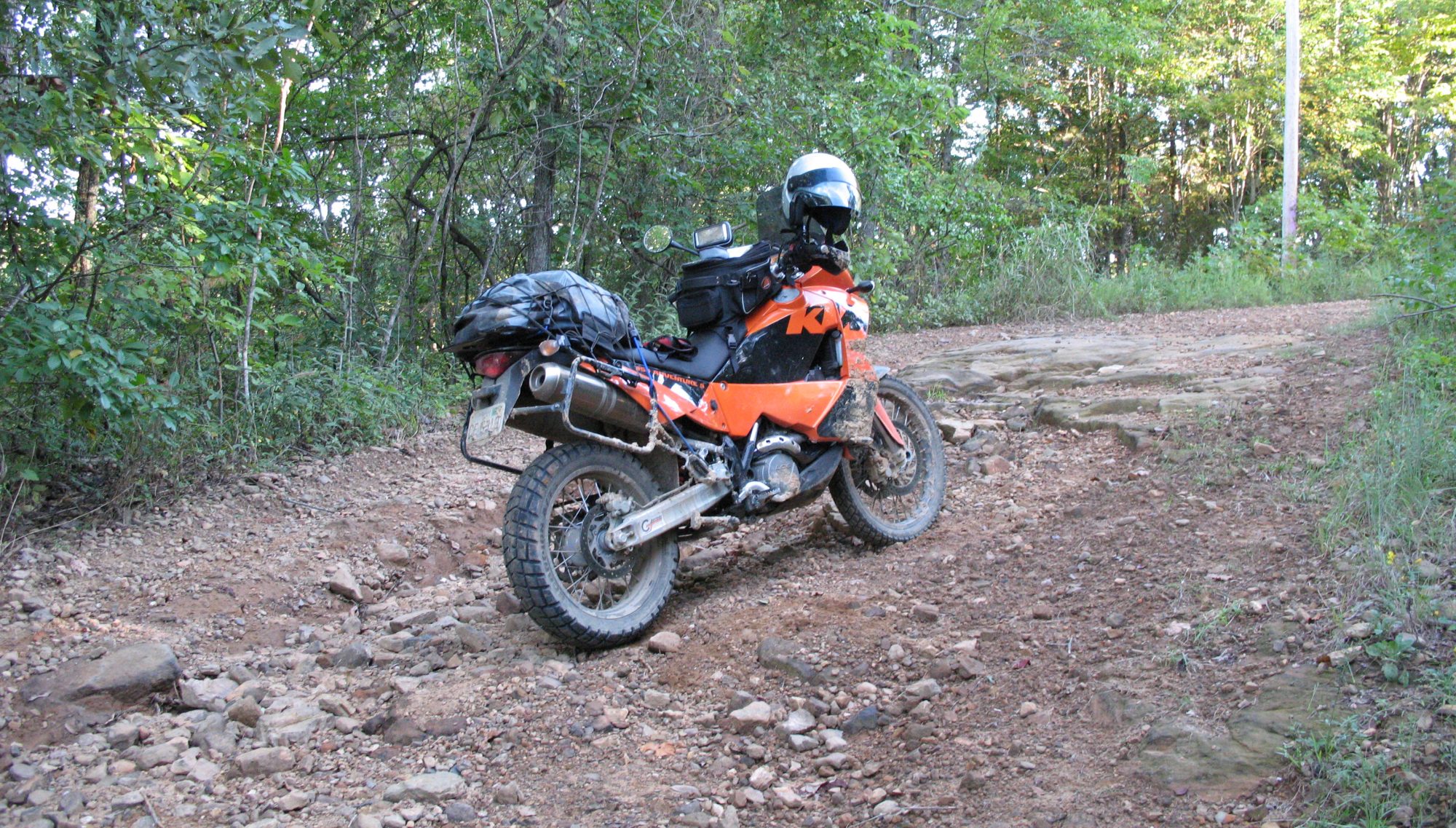
Well, it didn’t take long to find out about riding on slippery red mud. To be slightly more accurate, it didn’t take long to find out how NOT to ride on slippery red mud. Mainly as a result of today’s ride, I will change my ADVRider username to DirtNap. I can state with certainty and experience that Scorpions are not great mud tires.
The real fun began at Tubby Bottom. The first indication that it’s going to be fun is the “bridge out” sign. Having read many TAT ride reports we knew that it isn’t really out, it’s just sort-of out. I’m hoping that yesterday’s rain wasn’t going to make it really out, and it did not. First you ride over a couple of feet tall mound of dirt and then across a concrete slab “bridge”. Now, you can see the actual place where the bridge ought to be – but it isn’t there. What’s there is a shipping container dropped into the creek. The doors are open on each end and the creek is flowing through the container. It was used as a bridge by at least one vehicle that exceeded the container’s weight limit, because the top was caved in. Both ends were still straight, but one end was unreachable due to erosion around the container. The other end had dirt piled against and across it and it was rideable. John rode his GS1200 across easily and because I couldn’t count on getting my feet down in an emergency, he rode my KTM across too. Better safe than in the creek underneath a KTM. Actually not nearly as difficult as I first thought. As it turned out, I should have kept that thought to myself.
Getting into Tubby Bottom was much easier than getting out. Slimy red mud was the next challenge and we probably burned at least an hour of daylight to get 2 or 3 miles. Finally, we seemed to be out of the really bad mud section and we came to the often-photographed Mississippi water crossing. The bottom looked and walked pretty solid so I went first. It looked much harder than it was, but if the water levels were higher it could be a real challenge.
We still had some mud to deal with but we kept at it. We’re not going back, the only proper direction is forward. But, the mud really takes a lot out of you and it was good to see the river levees for the Coldwater River. Shortly after that we were in Arkansas and found a Best Western in Helena. A long day, a lot of work, and not nearly as many miles as we had hoped. But a suggestion of a good Mexican restaurant from the desk clerk resulted in a good, filling meal. Then I headed off to a hospital I had seen to get my finger looked at – it was swollen and very painful. The emergency room was backed up with the uninsured getting “emergency” care for their coughs due to cold, so I got some paper clips and a lighter to solve the problem.
The reality of actual miles traveled is setting in – Trinidad, Colorado is looking very unlikely unless we have several days of dry roads and can increase our moving average. Clearly my estimates of how many miles we can manage in a day is based on road miles and not on trail miles. They’re not remotely close.
The stats from today:
